Thank you for your patience while we retrieve your images.

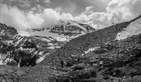
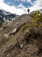
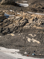
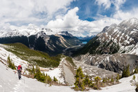
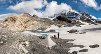
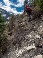
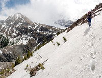
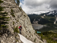
Alongside the Glacier River.At the top of the headwall, now we have to ascend the second moraine (Anton is already half way up it) before dropping down to our left towards Forbes.Finally breaking out of the trees onto the crest of an old moraine. The Mons Glacier obviously used to come right down this valleyAs long as you don't expect a highway you'll appreciate the trail when you're on it. Believe it or not, we are on it here. :)A view from the viewpoint just down the trail from the Glacier Lake parking lot - key word here is "down".A view back over camp as I break a trail to the North Glacier to assist us the next morning at 04:00 in the dark.At the western end of the Glacier River valley lies a lovely colored tarn which is the first collection point for the melting Lyell IcefieldGorgeous views looking back from the headwall after swimming up hill through Christmas trees and isothermal snow.Our perfect camp. Forbes is at center, still buried in clouds.3rd class scrambling on muddy, shale slopes with heavy alpine packs builds character.Nearing the western end of the Glacier River valley. The Mons drainage at left, the route to the headwall just left of centerAnton on a rare clean section of the headwall approach trail.The trail around the north side of Glacier Lake is a weird mix of maintained and not maintained.Almost at the top of the headwall bypass route. Forbes is buried in cloud at center.Anton and Mike negotiate part of the trail that is descending back down to the lake.As you can see, there was some exposure to our left into the Mons drainage. The sun is also starting to come out as we gain height above the valley floor.We got a bit off track in a section of swamp about 2km west of Glacier Lake.There was some blowdown along the trail to Glacier Lake but not much, thankfully.