Thank you for your patience while we retrieve your images.

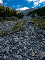
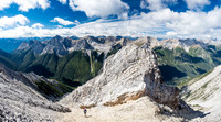
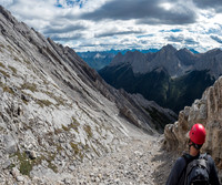
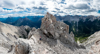
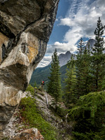
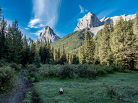
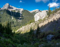
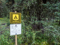
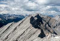
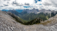
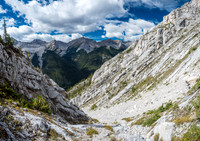
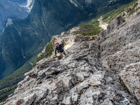
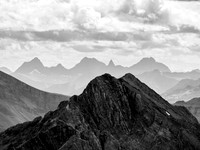
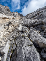
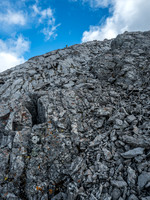
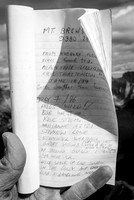
You can already notice all the ribs / cliffs that will cause us headaches in another hour or so.Topping out of the gully - but looking at what we topped out under makes us nervous. Are we headed for a similar terrain trap?Finally in the 'proper' easy descent gully on Brewster! And it IS very obvious on descent.One of my favorite views from the ascent - nearing the main south ridge now (visible at left) but still not quite there.Cool scenery around the big boulder - it's really big.Gorgeous views of Louis (L) and Fifi (R) from our turnaround point where we realized we were now off route.In the correct SW drainage with the obvious "big boulder" landmark clearly visible behind us.FM-10, or Mt. Cockscomb backcountry campground. Or "the campsite". We marched right past it - as it is only 8.1km from the trailhead and not 2 hours either.We are now on So's descent route and just starting up the SW ridge.Spot Wietse traversing into the shallow gully towards me at far right - note the huge balanced boulder from earlier in the day just behind him.Looking back down the SW ridge and over the chimney / gully that almost ended our day for the third time.Looking over the dual summits of Norquay at the distant, unique shapes of the Verendrye Range (R) and Split Peak (L).At this point I'm starting to get nervous as our GPS track is starting to deviate too far climber's left of the upper bowl.Looking back up the false summit as we descend to our nice (and wrong) ascent gully.First page of the register - a Kane entry, 22 years old.Yet another near-miss escape along the SW ridge.I think this is Bonnet Mountain.Looking up at the summit - still not in the bag at this point!