Thank you for your patience while we retrieve your images.

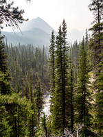
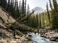
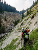
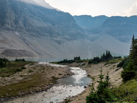
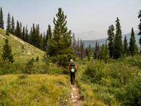
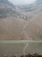
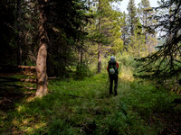
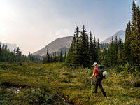
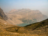
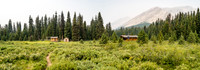
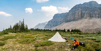
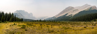
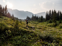
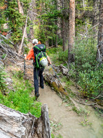
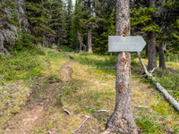
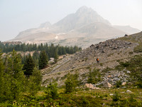
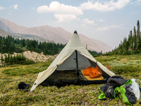
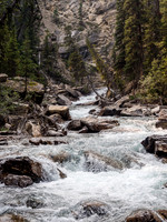
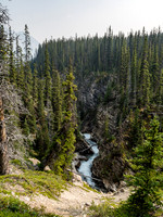
High above the raging water now, looking down on the section that forced us up and out of the canyon on climber's right.After initially being pretty wide open the streambed started to slowly deteriorate.One of the drainages that confused us a bit. We ended up traversing to our left a lot on ascent, mostly because we wanted to bivy at the third lake.Evening light struggles to get through the smoke as we approach the third McConnell Lake.Typical mid front range Rockies valley bottom with open forests and generally dry landscapes.Finally we reach more open alpine meadows and Mount McConnell starts showing up - at upper right here.Looking down on Zigadenus Lake from Packers Pass.Eating supper in a pretty special spot - not too many humans have sat here over the years.Shingle Flats. Now Pipestone / Cyclone are on the distant left and Mount Drummond rises at right. The Drummond Icefield not visible at distant center.Delightful alpine meadows - but still plenty of mature trees too.A section of trail is a running stream thanks to a very high Red Deer River.A barely readable sign pointing towards Douglas Lake. Don't expect a trail though!Phil plods up the steep grind to Boulder Pass - Ptarmigan Peak obscured by smoke in the background.Bivy site.Looking upstream we see obvious signs of a canyon with rapids shooting out of it - I guess we're starting a traverse high above the water at this point.