Thank you for your patience while we retrieve your images.

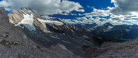
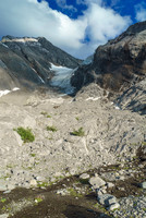
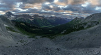
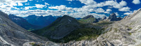
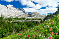
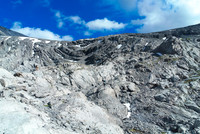
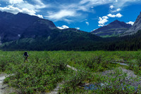
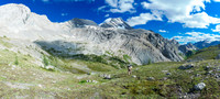
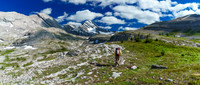
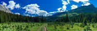
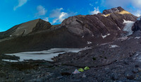
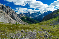
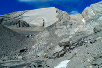
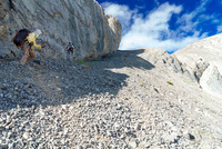
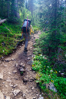
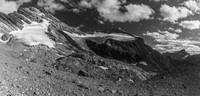
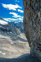
The left hand glacier is the access to the NW face direct and the right hand glacier is our access to the skyline West Ridge route.Looking up at the lower glacier from near our bivy. It looks easy from this angle. Note the seracs hanging over the RHS? Stick left.Our evening views from just above the bivy site on top of a moraine, looking west into the remote and wild Spray River Valley.Burstall Pass Peak at center, Snow Peak to the right and Mount Smuts and Birdwood on the right.Sir Douglas is just poking out in the far distance.Tackling the spur. Easiest route is slightly right and then left near the top.Hiking across the Burstall flats with Snow Peak rising at right.South Burstall Pass, looking ahead at the spur / ridge extending from Whistling Rock Peak at left and cutting in front of Sir Douglas.Making our way to South Burstall Pass - Burstall Pass Peak on the upper right and Sir Douglas clearly visible now at center.The section of trail leading towards Burstall Pass. Snow Peak rises on the right.Don't be fooled by how tame the glacier looks from here. It's much higher and steeper than it appears - especially if it's snow free, as it is here.This is the section where the old 11,000ers book recommended going around the spur, visible at left here.The first clear water source since the swampy section of the Burstall Pass trail - a very welcome sight.Looking back up the 'hidden' scree ramp descent from the spur. I have no idea how Dow found it but it works great.The hiking trail to Burstall Pass is a highway - but a scenic highway at least.Late day lighting as we prepare to cross the moraines to our bivy - the two glaciers looking pretty bare.Looking down the scree ramp.